Blocs, armies and territory.
The Soviet and US blocs form the first confrontation. A European bloc is planned.
ASH MERIDIAN currently uses provisional bloc names: the USSR, the USA and a planned European bloc. The first confrontation puts the player in command of the Soviet side and General AI in command of the US side. Each has its own troops, factories, transport, technologies and knowledge of the enemy; physical rules and the material cost of decisions are shared. Rosters and balance are in development.
Compare three generated districts →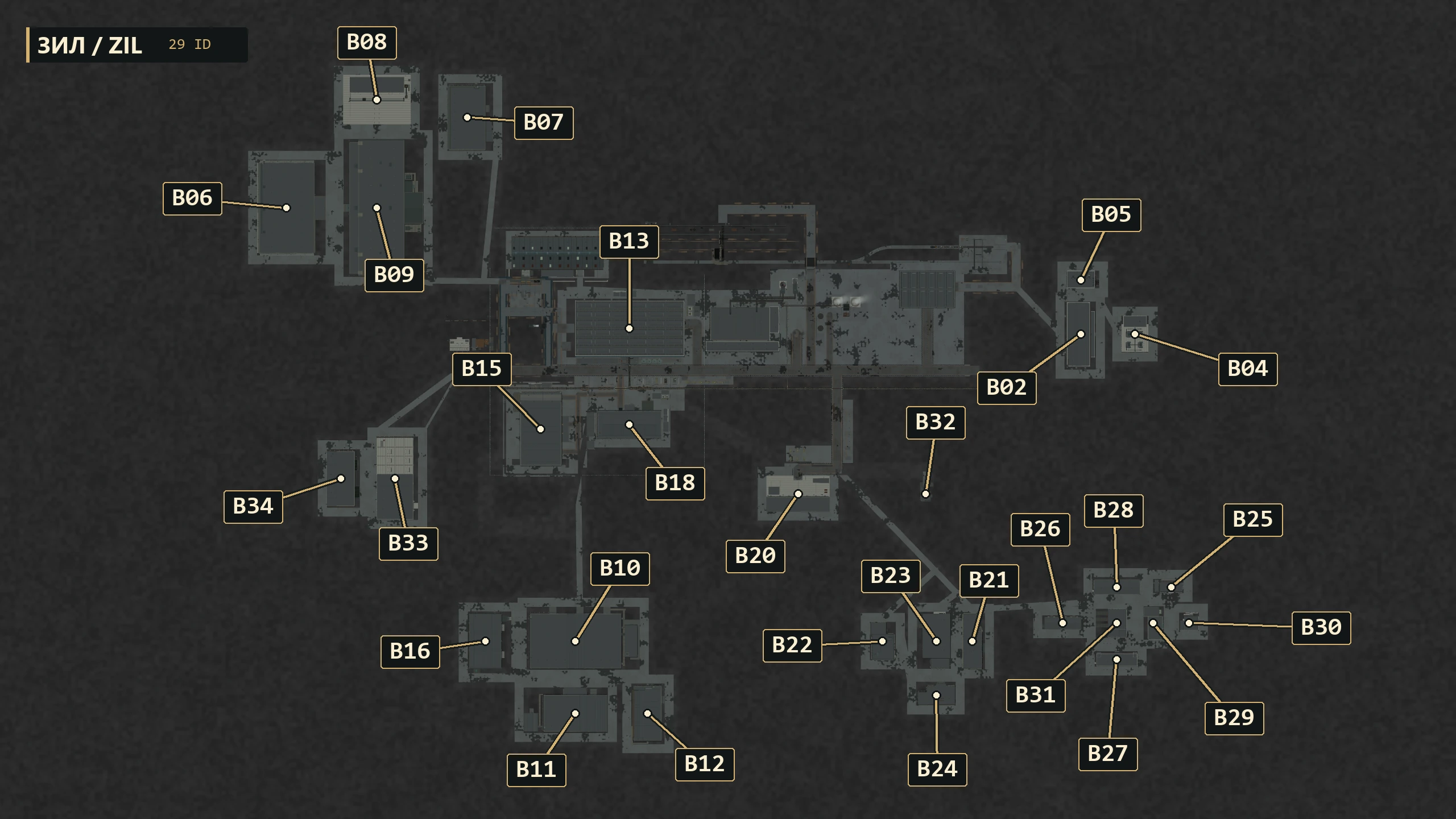
The sides and their current status
USSR · the first player side
Its own vehicle lineages, industry and development programmes. The Soviet district test follows a worker from home, onto a bus and through the factory gate to a workplace, including delays when transport is unavailable.
USA · commanded by General AI
Its own production, deliveries, repair and vehicles follow the shared rules. The American district design gives private transport a larger role, with garages, driveways and parking. The street is shown in a scene; a resident’s car journey has yet to be verified in a gameplay run.
European bloc · planned
A third direction for development. Its name, vehicle roster, programmes and balance will be revealed as they take shape.
Differences that matter
The sides have different permitted vehicles, modifications, technologies and programmes. A vehicle’s capabilities and limits depend on its configuration, crew, condition and supply. Geography, the route to the front and the chosen objective also affect an advantage. Final strengths and weaknesses are being refined through development and balance testing.
USSR and USA: buses, streets and factoriesThe map shapes the military objective
Both sides have troops, an industrial rear and finite supplies. Forests and blocks provide cover, terrain changes visibility, and a bridge connects routes. Securing an approach, preserving a crossing or extracting a convoy changes what your forces can do on the map. Each operation sets its specific objectives.
Command, combat and supplyFrom terrain to battlefield
01 / Land and water
Terrain and drainage come first, followed by rivers, valleys, floodplains and soil. They establish natural constraints on placement and movement.
02 / Resources and production
Potential resources, water and industrial demand determine connected extraction and processing sites.
03 / People and journeys
Settlements and workplaces create movement demand. A road connects the reasons for travel: home and work, mine and workshop, warehouse and recipient.
04 / Transport corridors
Roads and railways connect the nodes. Crossings and bottlenecks belong to the world’s structure and affect its resilience.
05 / Environment and combat options
Blocks, villages, fields and forests shape movement, visibility, cover and detours. These opportunities are checked for the selected game profile.
06 / Detail
The environment is refined after its major relationships are established. Details support the place’s function and keep routes, entrances and production roles readable.
Two ways to build a territory
| Approach | What is fixed | What varies |
|---|---|---|
| Canonical territory | Established factories, streets, rivers, bridges and railways | A seed fills permitted parts of the environment. |
| Free map | Landscape, era, season, weather and rules profile | A procedural plan follows Competitive or Skirmish constraints. |
Scale does not erase distance
An aggregated view must preserve the physical meaning of a route. Off-camera supply does not become instant delivery. A destroyed crossing changes the actual approach network and the ability to carry out a task.
One meaningful world for all participants
The multiplayer design requires one agreed world plan. Passability, visibility, destructible cover and meaningful debris must share a common state. Otherwise the same road would provide different opportunities to different players.
Compare three generated districts from one period in Factory and city. This chapter describes the wider world design; district generation and multiplayer systems are progressing through separate stages of development.
Next chapterLISAVA Games →